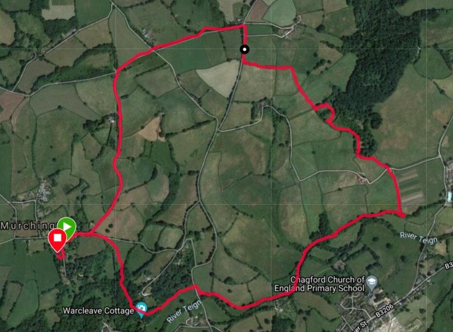
1.5 miles, 40 minutes, Elevation gain 40m

This is a short walk round Murchington. It is our go-to walk if we’ve been cooped up all day on Zoom (or in the times BC - Before Covid - at work all day). Starting from the bench in the middle of Murchington head west (towards Gidleigh) till you come to a bridlepath on the left, at the top of the hill. Follow this down to the river where you will see the ancient stepping stones over the North Teign River (usually only traversible in summer).
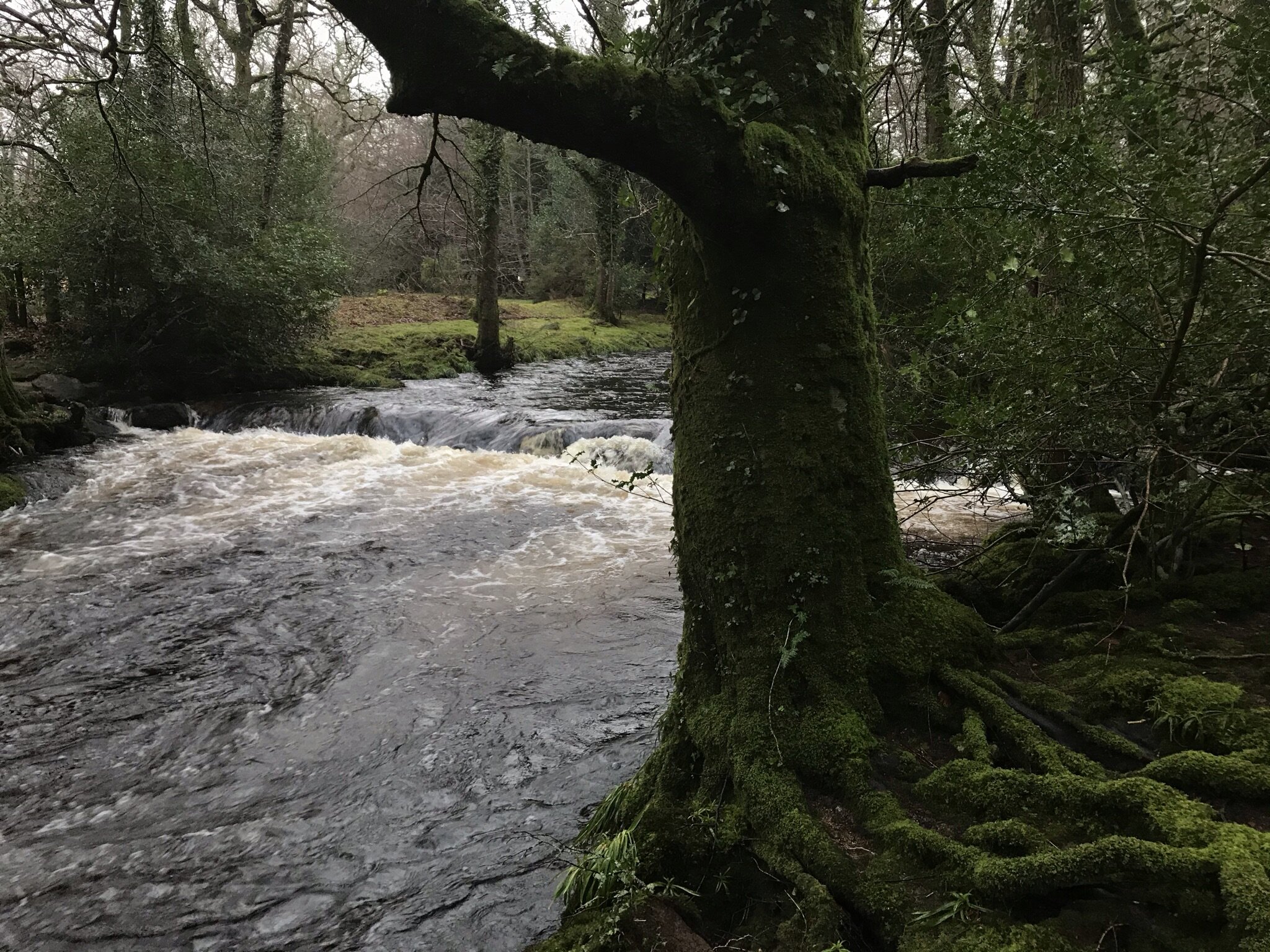
The stepping stones look more like a weir when the river is high.

Is this one of the largest Douglas Firs in England - opposite Leigh Bridge?
Just up from the stones there is a gap in the wall which gives easy access to Milfordleigh Plantation (NT) downstream of the stepping stones. Follow the path along the river bank till you come to the confluence of the North and South Teigns. Opposite is Leigh Bridge and the sweeping lawn of Puggiestone House to the left. Note the giant Douglas Fir at this point, which Murchington folk think may be one of the largest trees in England. Keep to the bank and you will next come to what is believed to be an old fishing hut from the time when the whole of Milfordleigh was part of the St Olaves estate.
The large specimen trees dotted about the wood also date from this period (1867-1900). Continuing on the main path you may catch a glimpse of the Puggiestone itself - a granite outcrop below Puggiestone House. In spring there are large swathes of bluebells on the slopes of Milfordleigh and also some dense clumps of delicate white wood anenomes close to the river. Sadly, there is also a good deal of invasive Rhodedendrum ponticum and Laurel in this area which the National Trust is trying to manage. In Autumn there are also great swathes of mushrooms - not generally edible.
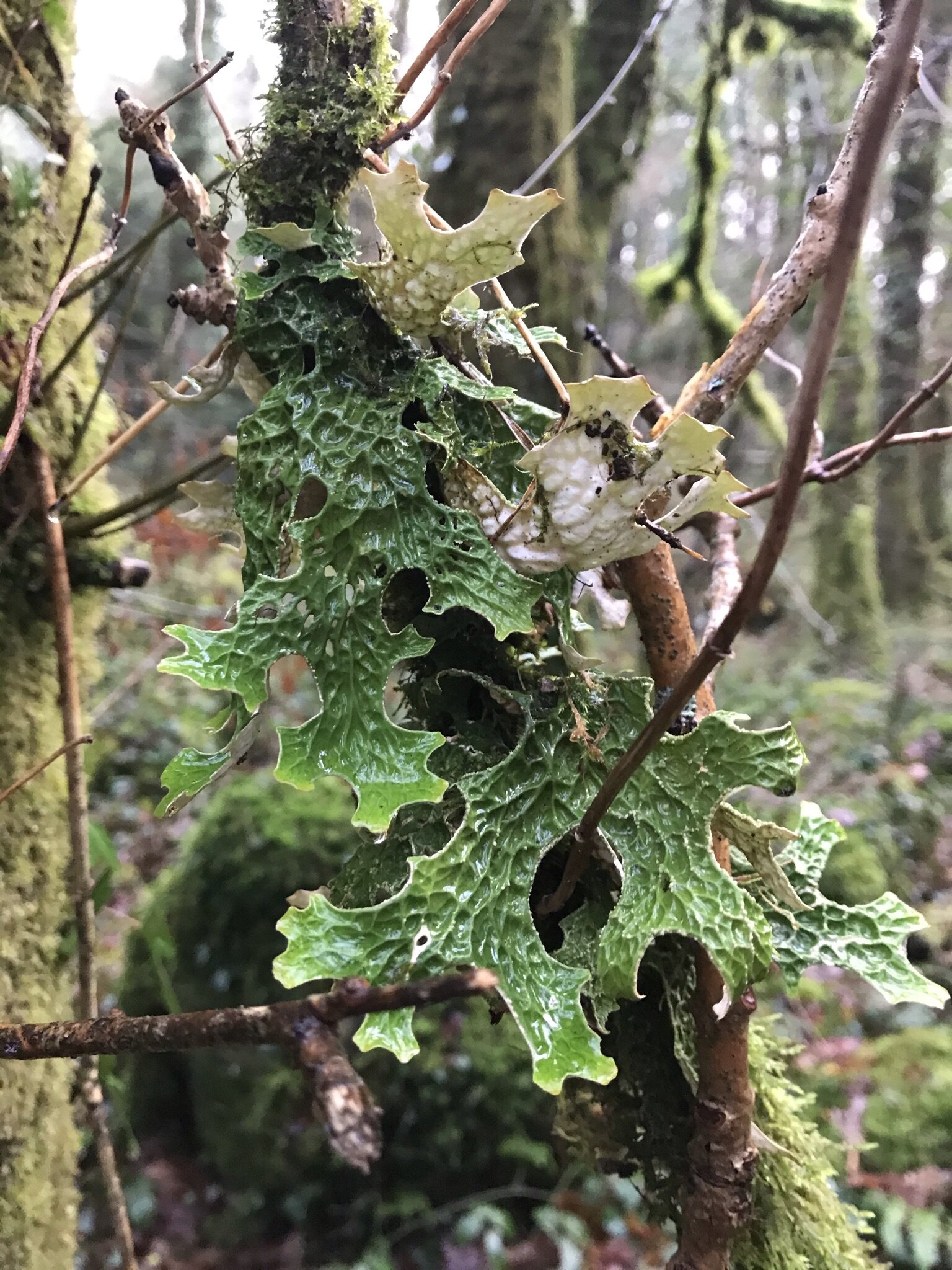
Lungwort - a sign of clean air
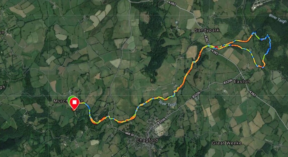
More elusively, if you are very lucky you may spot patches of the lungwort lichen growing on hazel and old oak trees in the wood. This is rare in southern England, partly because it can only survive in very pure air. Breathe deeply. Continue the walk along the river bank, till you come to the end of the wood (near where the river plunges over clusters of large boulders and a precariously sited small island). The path now bends back on itself, running parallel to the original path but deeper into the wood. If you are staying at St Olaves it is possible to gain access to the garden here - through the laurel patch by a low fence. This section of the path can become very wet in winter, but it is always passable. It is these wet, low-lying parts of the wood that are best for seeing the Lungwort. As you return through the wood, also look out for the overgrown remains of the old sawmill (usually filled with water except in summer). Also look out for Blacksmith’s Pool, a large open area of the river that is popular for wild swimming - there is easy access to the river. When you get back to the fishing hut keep straight on till you come to a gate and stile. This is the end of the wood. Cross and head right, follow the bridlepath back to Murchington. The walk can be extended to make a two mile circuit - good for runners - by taking the track opposite the bridlepath and heading up to the road (at Fairview), turn right and walk back along the road, past Higher Murchington Farm till you come back to the Murchington. Turn left.
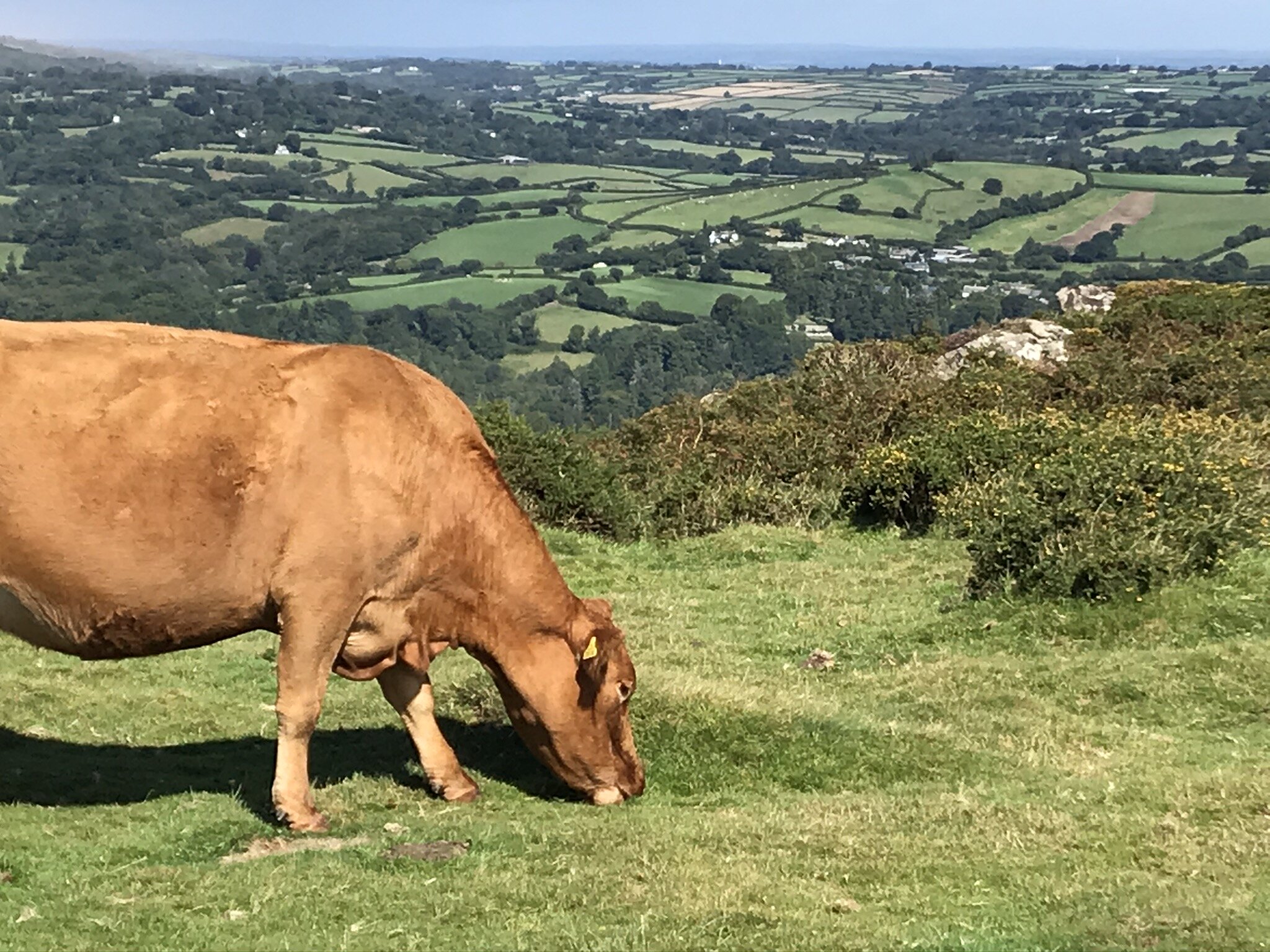
Mild Peril: the bridlepath can be very muddy in winter. There may also be cattle roaming about making it more so. Please make sure you shut the gate that leads to the road - though the cattle have been known to escape anyway.

Milfordleigh Woods - entering from the bridlepath gate - bats love this spot in summer.